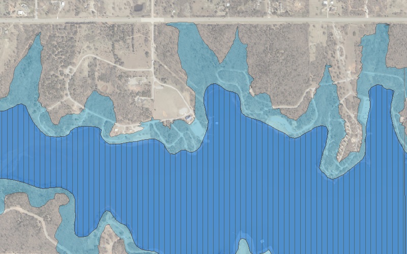
Welcome to the City of Edmond Floodplain & Watershed Map application. The City of Edmond makes every effort to produce and publish the most accurate information possible. The data contained herein is derived from both internal and external sources and while we are constantly updating our database and services, we cannot guarantee 100 percent accuracy and disclaim any responsibility for the accuracy of this data.
City of Edmond, Oklahoma
Floodplain and Watersheds
Legend
Layers
Creeks and Rivers
City Floodplains
FEMA Floodplains
Watersheds
Air Photo
Air Photo flown in March 2024
This widget allows for entering in the map scale (in feet) and then zoom to the scale on the map. The map units are the number of feet per inch. Example: 1 inch = 100 feet (1:1200 map scale).
Zoom to Scale
1 inch =
ALERT You must enter a zoom to scale value then hit enter or click on the Zoom button. Example: 1000, 2000, or 5000. All units are in feet.
Bookmarks
Print
Info
This application is intended for public use. This application displays floodplains and watersheds within the City of Edmond.
To receive more information, please contact the City of Edmond Engineering Department.
Address and Phone
2824 Progressive Drive
Edmond, OK 73034
Phone: (405) 359-4770
Fax: (405) 359-4696